Built to give government teams reach, insight, and clarity, DECKEE is how modern waterway management gets done.


From insight to action to impact. The DECKEE platform adapts to your team's priorities – whether that's public safety, infrastructure decisions, coordinated response, or the full picture.
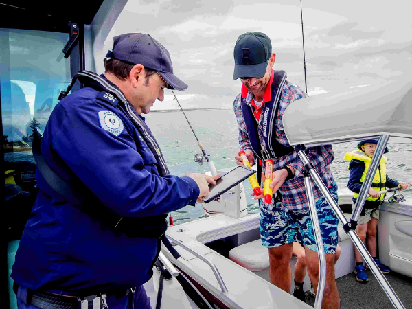
Safety, education and compliance
Give boaters practical tools while using activity data to observe patterns, inform interventions, and improve safety outcomes.
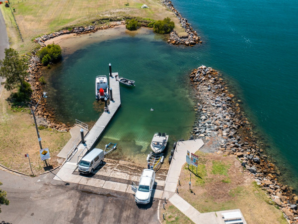
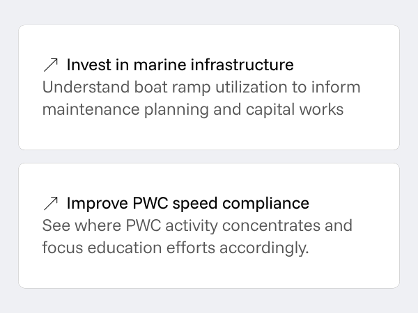
Infrastructure planning and investment
Understand where boaters go, when they use facilities, and where demand is growing to inform investment decisions.
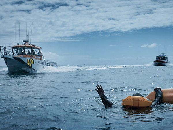
Emergency response
A common operating picture for coastguards to monitor the real-time situation on the water to mitigate risks and save lives.
Community engagement and operational intelligence in one platform. DECKEE delivers alerts and education, observes anonymized activity patterns, and identifies risk areas that inform your strategic decisions.
Equip boaters with on-water tools
The DECKEE app gives your community the tools, rules and information they need for safe, enjoyable participation.

Target essential communications
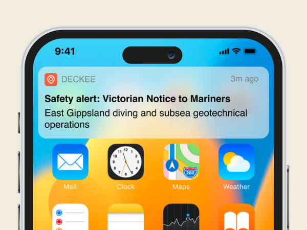
Publish Notice to Mariners, safety alerts and aquatic events. Real-time, official, and geofenced to exactly where it's relevant.
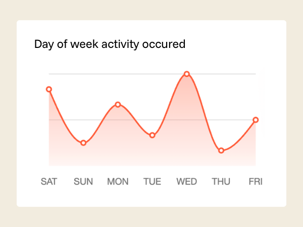
Go beyond surveys to understand activity
DECKEE pulls anonymized activity, environment and risk data into reports and dashboards your stakeholders can act on.
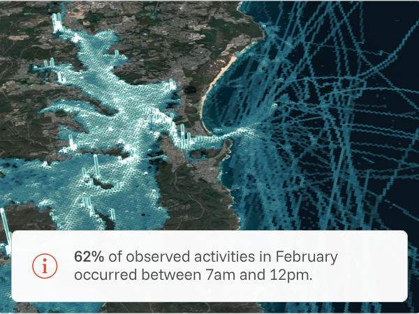
Data from actual behaviour, not surveys. DECKEE gathers anonymized activity patterns from boaters on the water – giving agencies continuous insight that traditional methods can't deliver.
1. Define strategic priorities
Every waterway has unique usage, demands, and environmental conditions that shape what matters most.
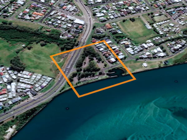
2. Nominate key areas or assets of importance
DECKEE can support broad, state-level areas, right down to specific assets like boat ramps, and everything in between.
3. Receive activity reports and dashboards
Continuous insight delivered in formats ready for planning meetings, budget submissions, or ministerial briefings.
Low risk, fast time to value. DECKEE is software-only – no infrastructure, no long implementation, and dedicated support to get your team up and running quickly.
Software only
DECKEE is cloud-native and browser-based. No hardware to procure, no infrastructure to provision, no IT project required.

Fast implementation
Go live in weeks, not months, with guided setup, data integration, and staff training included.

Dedicated support
Hands-on onboarding and ongoing customer success – your team is never left to figure it out alone.
Book a free demonstration today.